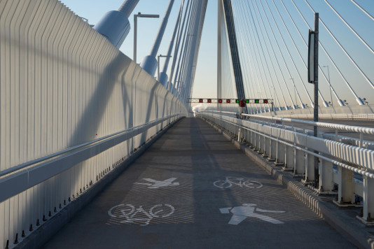
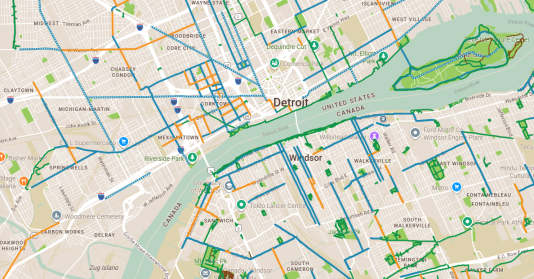
With the opening of the pathway, we've launched an online bike and trail map that helps bicyclists and pedestrians choose their routes throughout Southeast Michigan and Southwest Ontario. This interactive map lets you plan rides that cross the US-Canada border while exploring hundreds of miles of greenways, trails, on-street bikeways, ferry routes, parks, bike-share stations, repair stations, and popular destinations throughout the Detroit-Windsor region.
We have transitioned away from paper maps due to high production costs and rapid infrastructure updates, the Coalition’s new online tool automatically syncs every 24 hours by pulling real-time information from open data portals.
We also have free bike stickers featuring a direct QR code linking to the map. Putting this sticker on a bike frame is an easy way to always have a map available. These stickers are available for free at local bike shops and the Michigan Welcome Center in Detroit.
Funding for this map project has been provided by the Gordie Howe International Bridge Community Benefits Plan. |